From Paper Maps to Connected Aircraft: Rural Air Work
Follow Rural Air Work’s journey from one aircraft to a connected aviation operation.
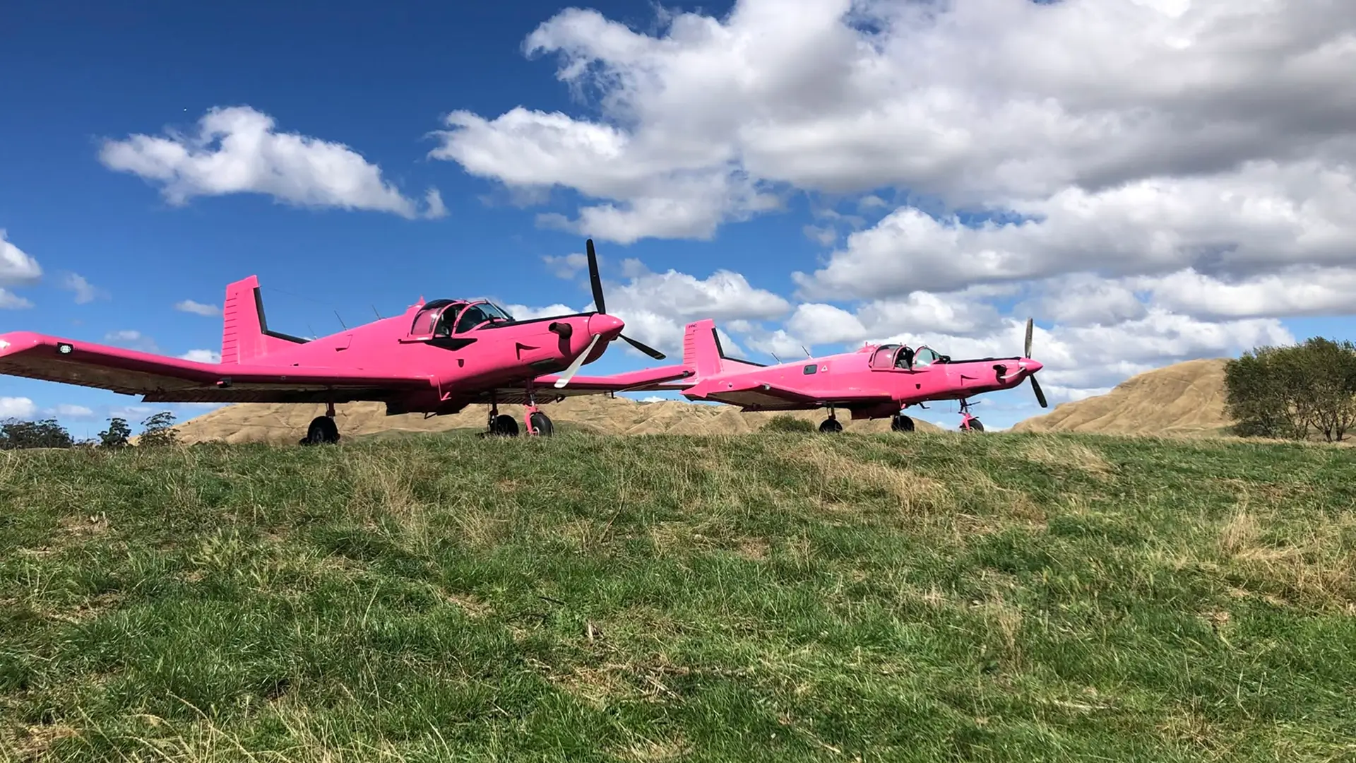
When Rural Air Work took to the skies in 2013, it was a very different operation to the one flying today.
There was one Cresco aircraft, one loader driver and owners Josh and Suzie Calder putting everything they had into getting the business off the ground.
“We had a young family and put everything we had into purchasing the aircraft and two loader trucks,” Josh remembers. “It was a massive undertaking. We worked every daylight hour we could.”
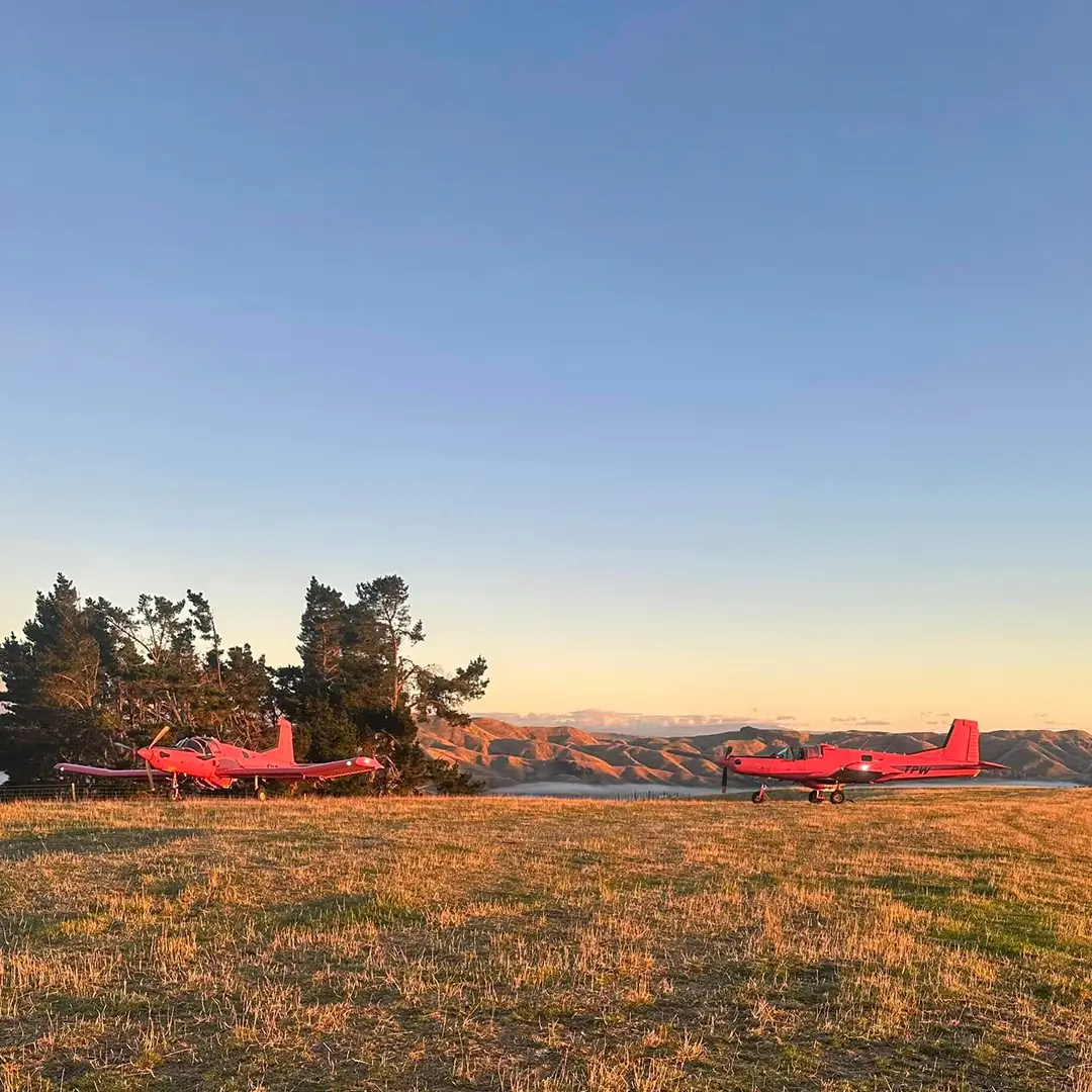
Thirteen years later, Rural Air Work has grown alongside the farmers and communities it serves. Its aircraft now operate from Gisborne to Pongaroa, with a fleet that includes two Crescos, a PAC 750XL, an Air Tractor 402B, a Cessna and a Fletcher, supported by a team of pilots, drivers and ground crew.
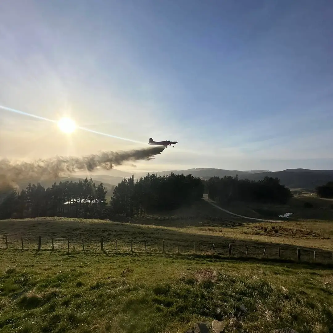
And the work has expanded too. Alongside agricultural topdressing and spraying, Rural Air Work’s aircraft and crews undertake firefighting and search and rescue operations.
The fundamentals of flying haven’t changed. But much of what happens around the aircraft has.
Same job. Greater precision
“Ag aviation is still a basic theory — you take fertiliser from the farmer’s bin and apply it to their farm,” Josh says.
What has changed dramatically is the precision, information and technology surrounding that job.
Josh remembers when a farmer might meet the aircraft at the airstrip carrying a hand-drawn map. Sometimes there was no map at all.
“The farmer would go for a reconnaissance flight with the pilot to show them where to go. Now it’s expected to be much more precise.”
Digital mapping and proof of placement have become standard, while variable-rate technology means application itself can be increasingly precise. Rural Air Work now uses Tabula to automatically adjust application rates according to precise digital maps.
It’s a change that echoes Tabula’s own journey over the past twenty years: the job at the centre remains familiar, but the information available to the people doing it has transformed.
Getting the right information into the air
Rural Air Work has experienced several generations of that transformation firsthand.
Early on, getting a map into an aircraft meant physically loading it onto the unit with a USB drive.
“If a new job came in, the plane would have to fly back to base so we could load it,” Josh says. “When Tabula became wireless, it saved that downtime. Now if one plane finishes a job early, we can just assign the next one.”
Today, the information can be connected before the aircraft even arrives.

With Tabula, every part of the operation can be mapped, hazards marked and everyone briefed before the aircraft has arrived at the job.
For an operation covering a large area and coordinating multiple aircraft, pilots and ground crew, those changes add up.
Multiple aircraft: one operation
Perhaps the clearest example comes when Rural Air Work puts multiple aircraft onto the same job, as each aircraft now has the visibility to see what the other is doing.
“Tabula shares the working lines in real time, so each pilot can see what has been covered and what is still to be done,” Josh says.
Back on the ground, tracking gives the team another view of the same operation. They can see how much of a job has been completed, what’s remaining, and use that information to coordinate what happens next.
Hazard information can also be shared across the fleet, so once something is identified and marked, it is available to other aircraft operating in the area.
The tracking feature in Tabula is invaluable… We can see how long they have left on a job, the area completed and the area remaining, and organise around that.
For an operation covering a large area and coordinating multiple aircraft, pilots and ground crew,
What comes next?
Rural Air Work’s growth has taken place across more than half of Tabula’s twenty-year journey. In that time, both the aircraft in the sky and the technology connecting them to the operation below have continued to change.
Josh expects that to continue.
“The future looks exciting. New Zealand agriculture is looking strong, and with the advancements in technology we’ll be looking at more precise applications and the ability to capture more information to make the end result easier.”
Twenty years into Tabula’s own story, that’s a familiar challenge.
The aircraft will keep evolving. Expectations around precision and information will keep increasing. And there will always be another job waiting.
The opportunity is making sure everyone involved can see what they need to — whether they’re in the office, beside the airstrip or already in the air.