.png)
.png)
Tabula for aerial agriculture
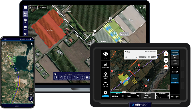
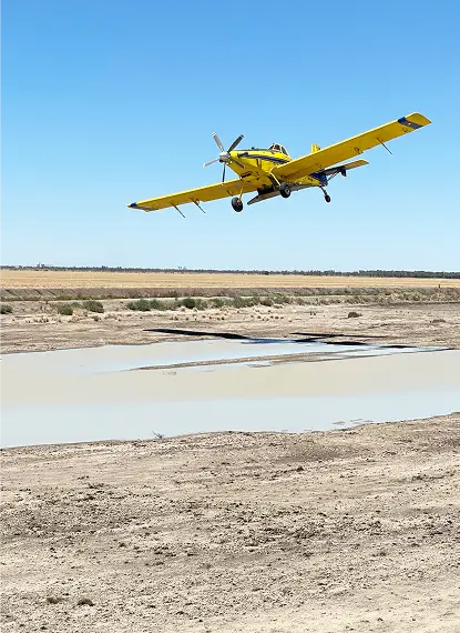
Aerial ag contracting leaves no room for uncertainty. Tabula’s AirVision gives you a complete, real-time view across aircraft, pilots and ground crews – so every job is planned clearly, flown safely and recorded accurately, without adding workload to the cockpit or the office.
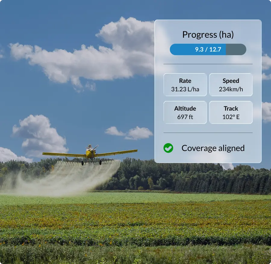
Want safer, more coordinated aerial operations?
Keep every flight controlled and every pass on track with clear visibility across air and ground.
- See aircraft location, status and coverage in real time
- Share hazards, weather updates and job details clearly
- Update plans mid-flight as conditions change
- Respond quickly with GPS-enabled SOS and live progress tracking
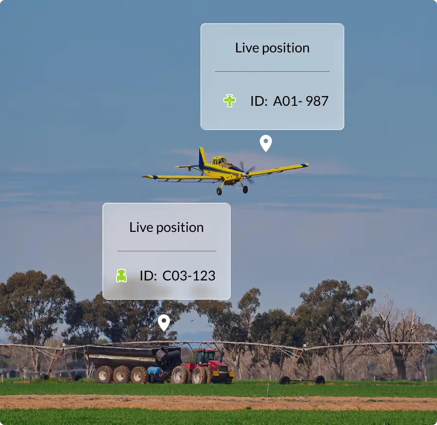
Want aerial and ground crews working in sync?
Coordinate aircraft and ground teams with one shared operational view.
- Keep pilots and ground crews working from the same mapped plan
- Track support vehicles, loaders and fuel trucks live on the map
- Reduce delays with coordinated ground support
- Support safer aerial operations with clear operational oversight
Features
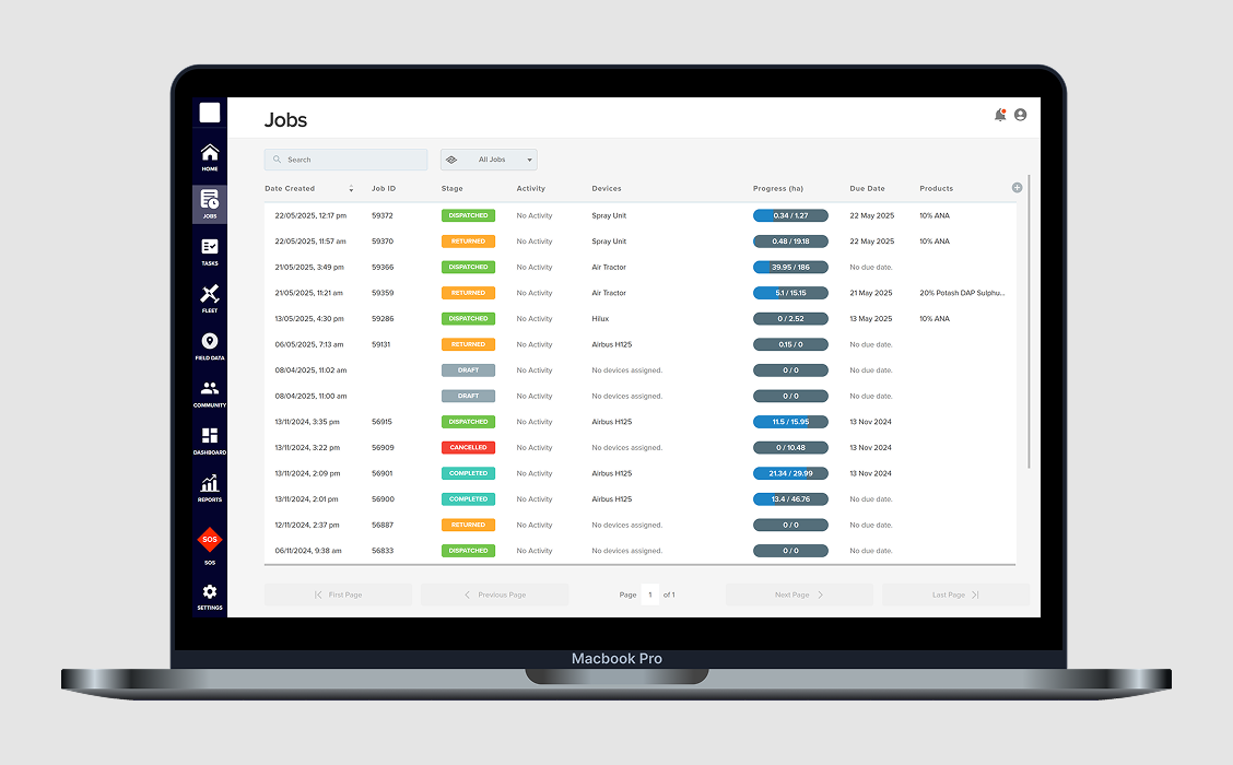
Plan, schedule and assign jobs with confidence, keeping aircraft, crews and loads aligned as conditions and priorities change throughout the day.
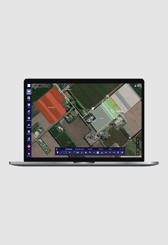
Coordinate aircraft and ground crews in real time with clear job instructions, live updates and a shared operational view that keeps everyone aligned as plans shift.
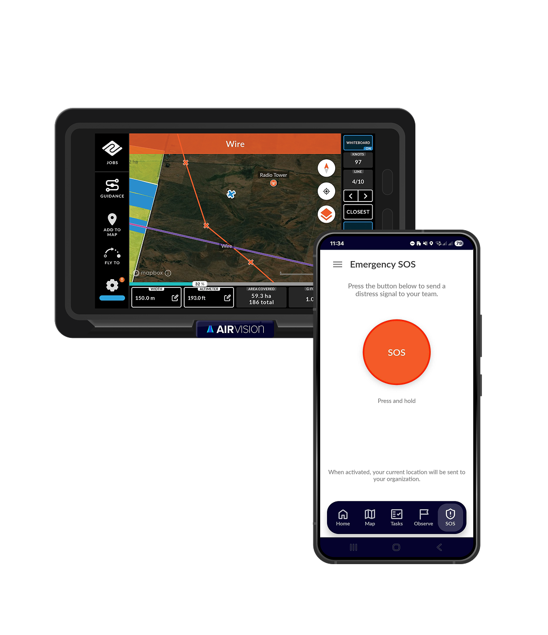
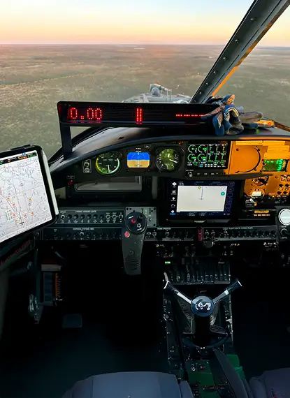
Guide pilots accurately in the air with clear in-cockpit guidance to defined job areas, with live coverage visibility to support precise and consistent application.
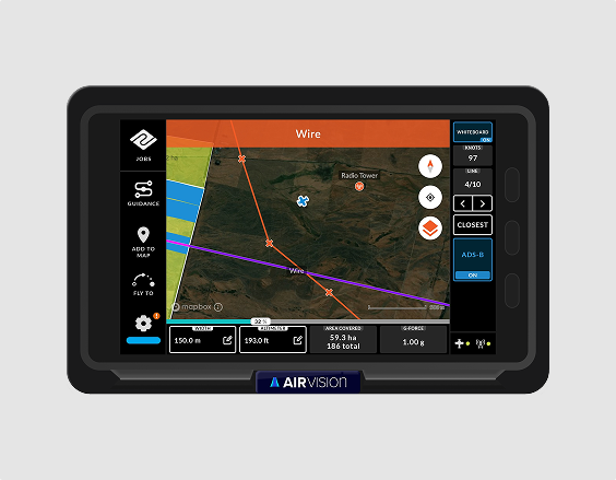
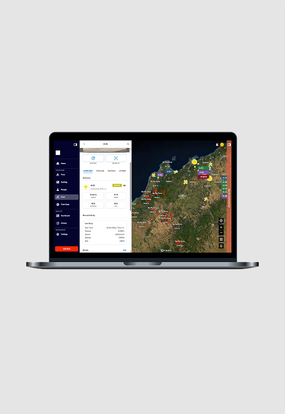
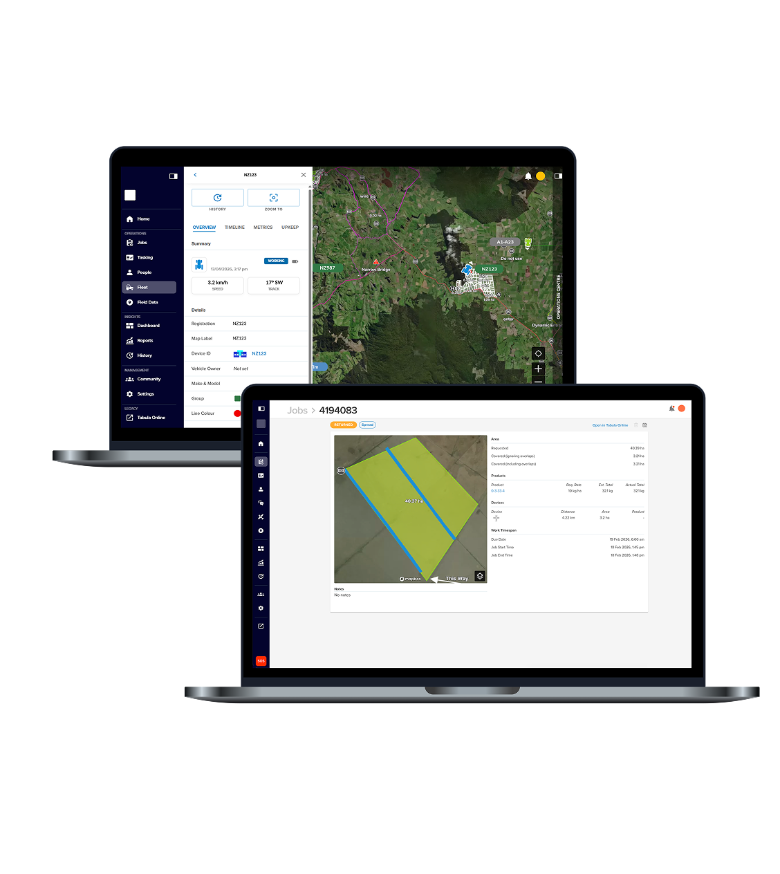
Track aircraft, vehicles and assets live in one place to understand activity, location and usage, helping you make informed decisions as operations progress.
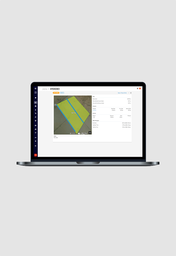
Capture reliable proof of placement automatically, with accurate records of every pass showing what was applied, where and by which aircraft — without manual processing.
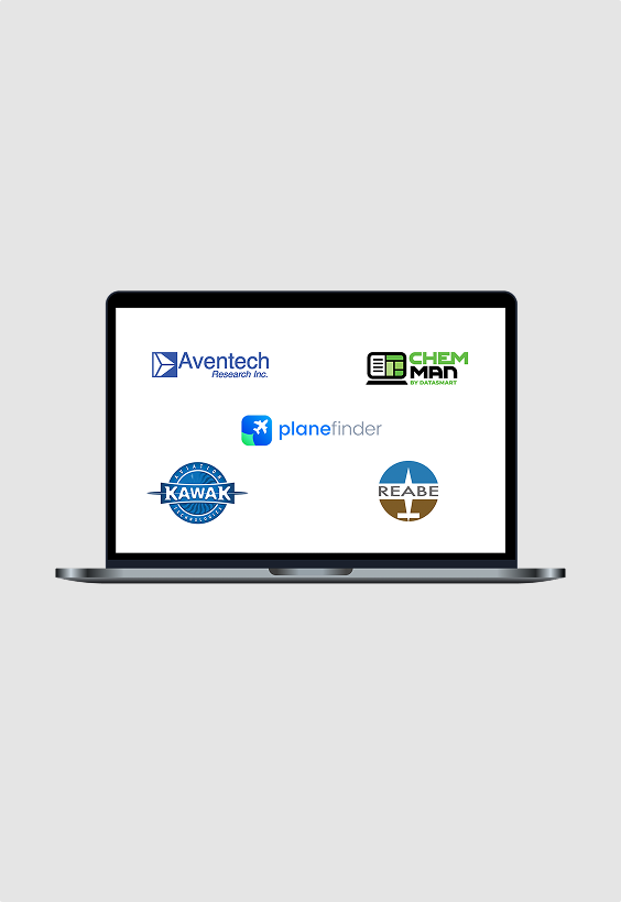
Tabula connects with third-party systems to create a more streamlined operation — reducing cockpit workload, minimising paperwork and supporting future integration needs.
Simplify compliance with accurate reports generated from real job data, keeping records complete, consistent and ready to support regulatory requirements — without the admin.
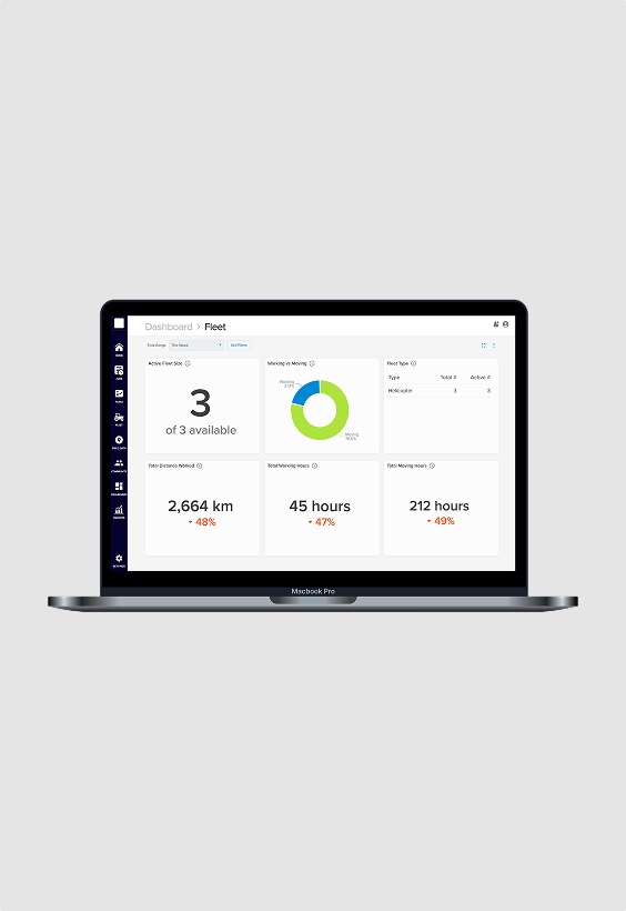
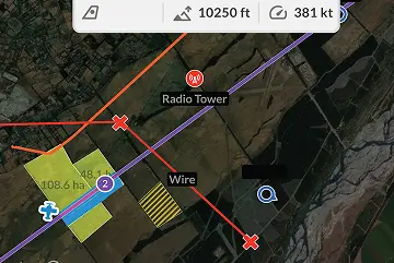
Support safer aerial operations with clear visibility of hazards, airspace and surrounding traffic, alongside automated check-ins and SOS alerts when it matters.
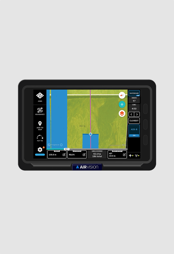
Professional-grade guidance designed for dynamic aerial application environments.
- High-visibility moving map with defined job boundaries
- Precision swath guidance for consistent coverage
- Real-time aircraft positioning and live job updates
- Single-screen integration with lightbar and core controls
- Dedicated in-cockpit SOS trigger
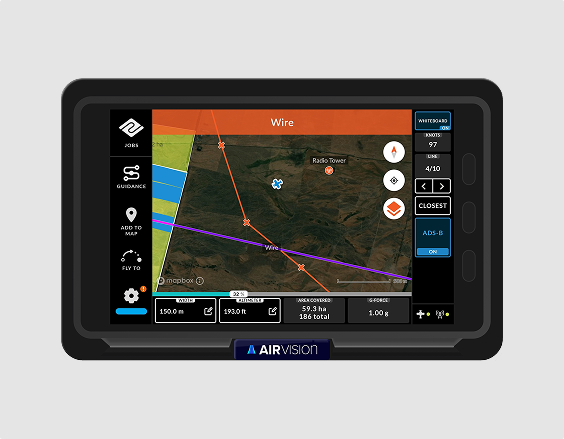
- Fully integrated single-screen guidance and flow control
- Automatic rate adjustment as ground speed changes
- Supports variable rate maps and sectional control
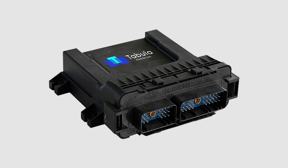
- Real-time height data displayed within AirVision
- Height limit alerts for safer flying
- Automatic altitude data recording
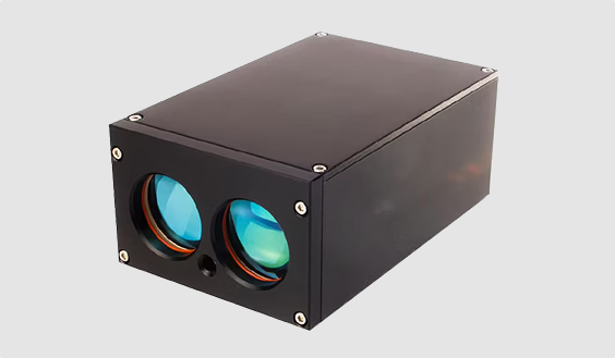
Capabilities
Plan jobs, manage maps and maintain accurate application records.
- Job Management & Scheduling
- Proof of Application
- Property & Infrastructure Mapping
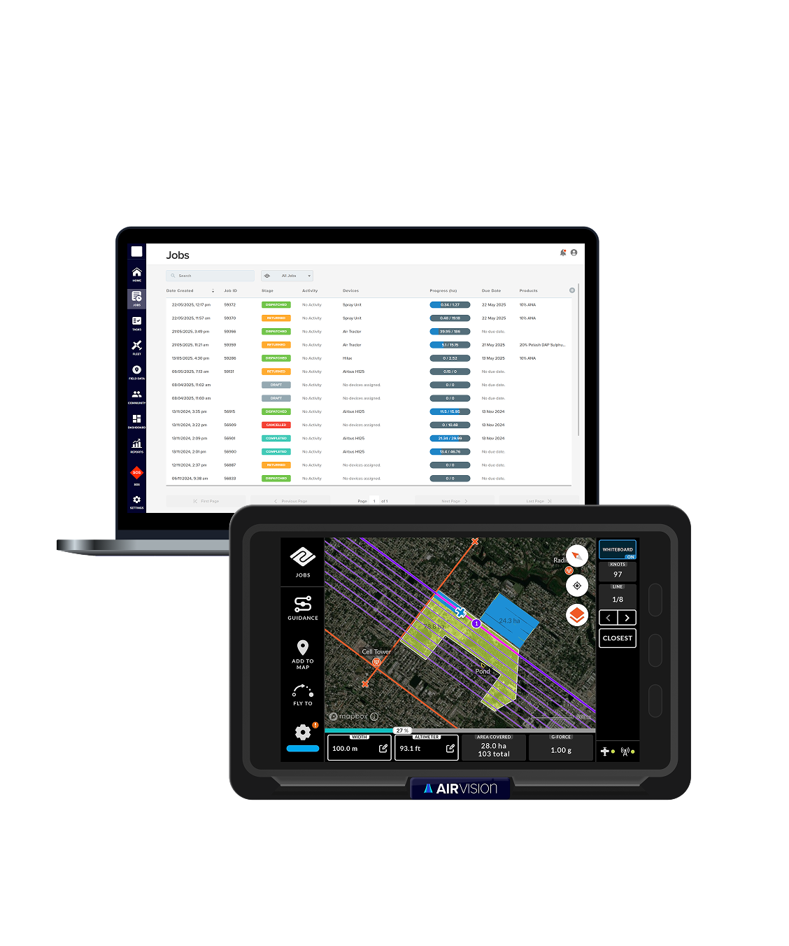
Connect office staff, pilots and ground crews through one workflow.
- Whiteboard
- Ops Planning
- Task Management
- Tabula Messaging
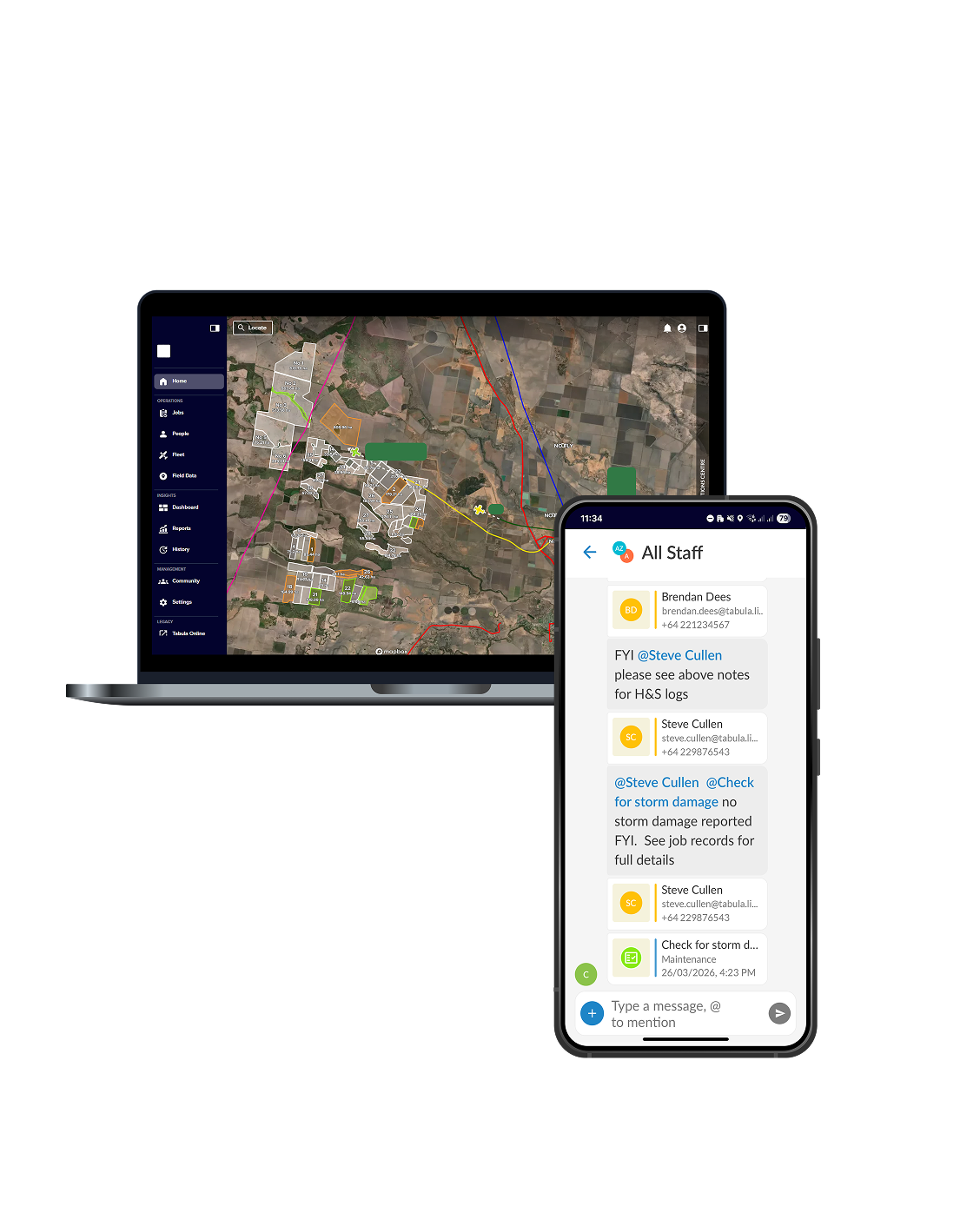
Maintain visibility of aircraft, ground vehicles and operational progress throughout every job.
- Live Tracking
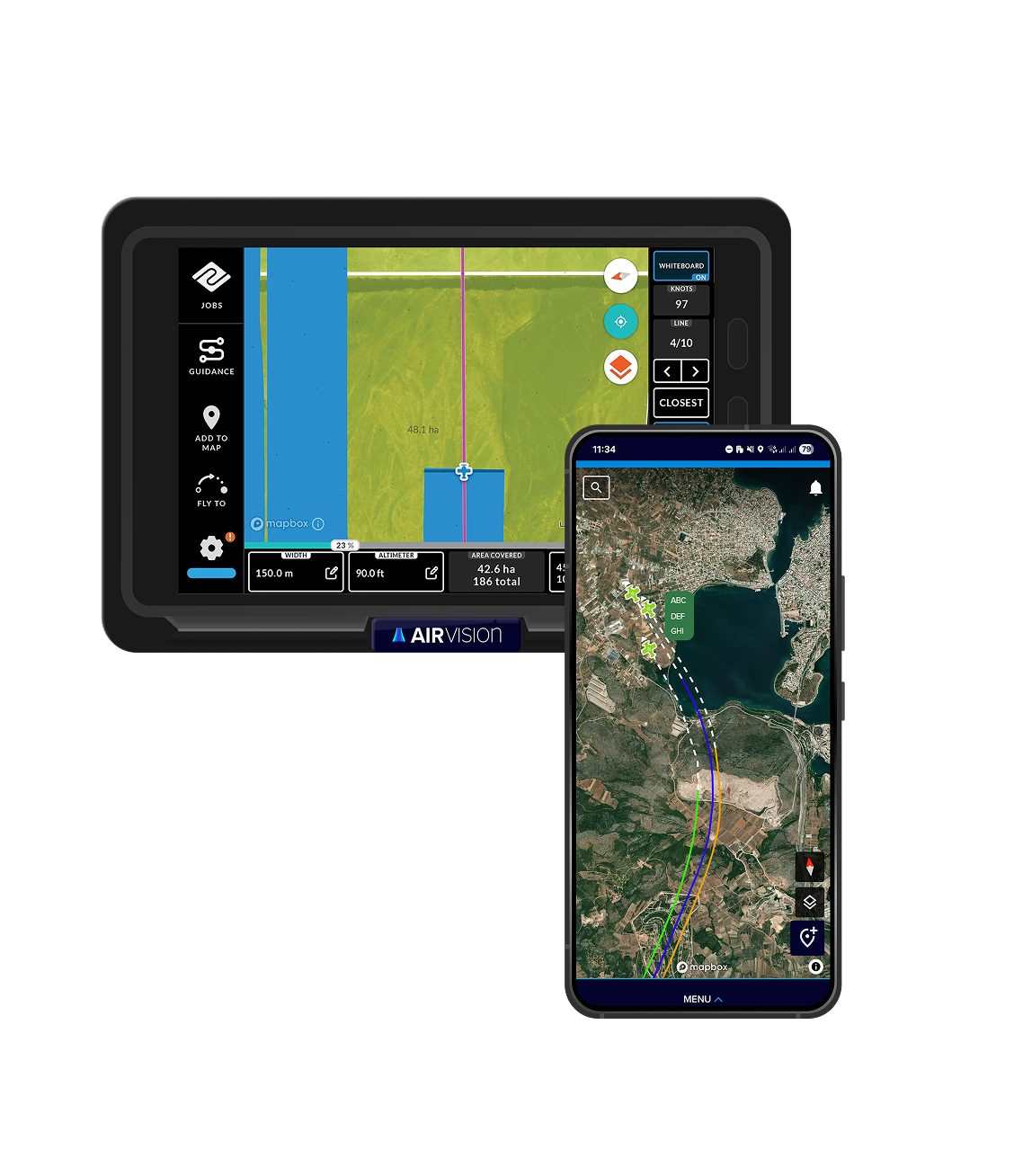
Improve situational awareness and respond quickly when conditions change.
- Hazard Management
- SOS
Connect operational data across aircraft, office and customer systems.
- Software Integrations
- Machine Integrations
How the work gets done
Tabula’s AirVision gives you the tools to plan, do and prove your work – all in one simple, digital workflow.
Plan ahead
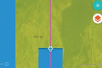
Set up every flight with clear job details before takeoff.
- Set job areas, boundaries and application details
- Assign aircraft, pilots and priorities
- Share clear job details across air and ground teams
- Adjust plans quickly as weather or conditions change
Run the operation
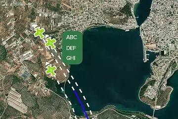
Keep pilots and ground crews aligned with clear, consistent execution.
- Guide pilots with clear in-cockpit job direction
- Maintain consistent application across every pass
- Keep ground crews in sync with the Field Support App
- Support safer flying with hazard awareness and in-built safety features
Track progress
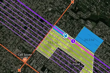
Stay across every aircraft and job as work unfolds.
- Monitor aircraft location and job progress in real time
- See coverage and status at a glance
- Position ground crews & vehicles to support aerial operations
- Identify issues early and respond quickly
Record results
Capture accurate records automatically as work is completed.
- Log every pass with GPS, aircraft and time
- Capture application data as work happens
- Share notes, photos and updates from the ground with Field Support App
- Have reliable proof for reporting and compliance
Integration partners
Tabula integrates with a range of trusted partners to streamline the in-cab and in-cockpit experience – reducing double handling and keeping your data connected across systems.










WOW! A game changer for managing our data and ops management going forward. And the safety benefits long term are immeasurable.
STEPHEN HOLDINGField Air, NSW
Don’t just take our word for it
Being able to track our entire fleet in near real-time means we know exactly where every aircraft is up to in a job at any point.
Aircair Aviation, NSW
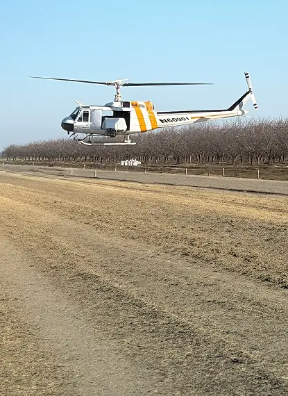
The ability to have all our equipment on one platform has been a game changer.
DARREN MILLER
Pacific Valley Aviation, USA
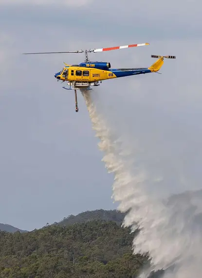
We would be lost without Tabula… it keeps the work moving.
DAMIEN LINDSAY
Contracts Manager, McDermott Aviation, QLD
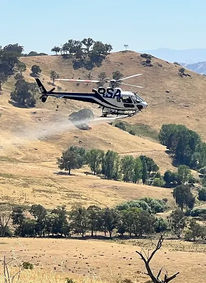
The technology gives us peace of mind that all our pilots are utilising a tool which provides added safety to their task as well as the best tool for precision application and a perfect job every time.
HUGH ACTON-ADAMS
Director/Chief Pilot, Rotor Solutions, NSW
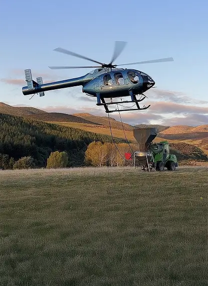
Seeing everything in one place saves so much time and work, everyone knows where they’re going and what they’re doing.
HAYDEN CHERRY
Southland Helicopters Limited, New Zealand
AirVision delivers. It’s made things faster, clearer and safer. It’s essential to our operations.
GUY STEVENSON
COO, Agflite Aerial Agriculture, NSW
Tabula is on the cutting edge of technology.
KHAYTHAN CHAMBERLAIN
Pilot, Aerial Control, USA
Aerial Ag FAQ’s
Tabula connects aircraft, pilots and ground crews in one operational view.
It connects planning, flight and tracking.
Shared plans keep teams aligned.
Visibility of coverage improves accuracy.
Flight data is recorded as it happens.
Find out how Tabula could work for you
Keen to see how Tabula can support your aerial ag operation?
Get in touch for a no-obligation chat today.
For support queries click here.
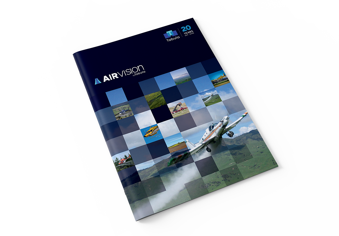
Discover other industries Tabula supports:
Purpose-built capability for each operation – all built on a shared foundation.