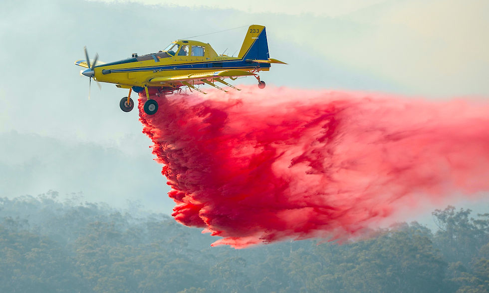
Aerial firefighting is evolving
Safety. Precision. Efficiency. Clarity.
A visual, GPS guided solution for real-time management of your aerial assets in the fire ground. Built on our proven AirVision platform, FireVision has been designed to support fire authorities and aerial firefighting contractors in the field, improving communication, situational awareness, effectiveness, efficiency and pilot safety.

FireBoard situational overview
Use the FireBoard to dynamically map changing fire ground features and weather conditions and share these with all aerial assets. Mark and automatically share the location of mobile refueling stations and new / depleted dip points as the fire moves. Set and update aircraft entry, exit and exclusion corridors to improve pilot safety.

Near real-time tracking
Have complete visibility of all aerial firefighting assets in the fireground and know where your pilots are at all times. Track and monitor aircraft from wheels up, through to ETA at the fire ground, routes to tasks, to and from refilling stations and hours in the air.
Ground based mobile incident control vehicles and mobile refilling stations equipped with FireVision Command tablets or tracking devices are also tracked on FireVision.


What is FireVision?
FireVision is a visual solution that links the fire command center with aerial firefighting assets operating in near real-time in the fireground. Operations are controlled by the command center tablet using the FireBoard, which connects to aerial firefighting assets with FireVision field tablets. Vehicle trackers installed in ground response vehicles easily identify key operational locations, including mobile refilling stations.
What FireVision does
FireVision advances emergency response operations and reduces emergency response time, through improved communication. The FireBoard provides a visual, centralized situational overview, incorporating weather updates and thermal image overlays to pinpoint critical areas of the operation and adjust activity as required in near real-time. Fireground information is shared visually with aerial firefighting assets. Suppression and surveillance tasks are updated dynamically. GPS-enabled SOS requests for assistance can be created and shared. Hazards are marked by pilots and ground crew and automatically shared across all aerial firefighting assets in the fire ground.
Getting started with FireVision
All FireVision hardware and software are supplied directly to customers by Tabula. If you have existing AirVision tablets, these may be FireVision-enabled for in-field use. Our teams in NZ, Australia and USA hold stock locally and are here to onboard you.


