Taking to the Air
Discover how solving problems on the ground opened the door to the skies.
By 2010, TracMap had spent its first few years solving problems firmly on the ground.
Then we looked up.
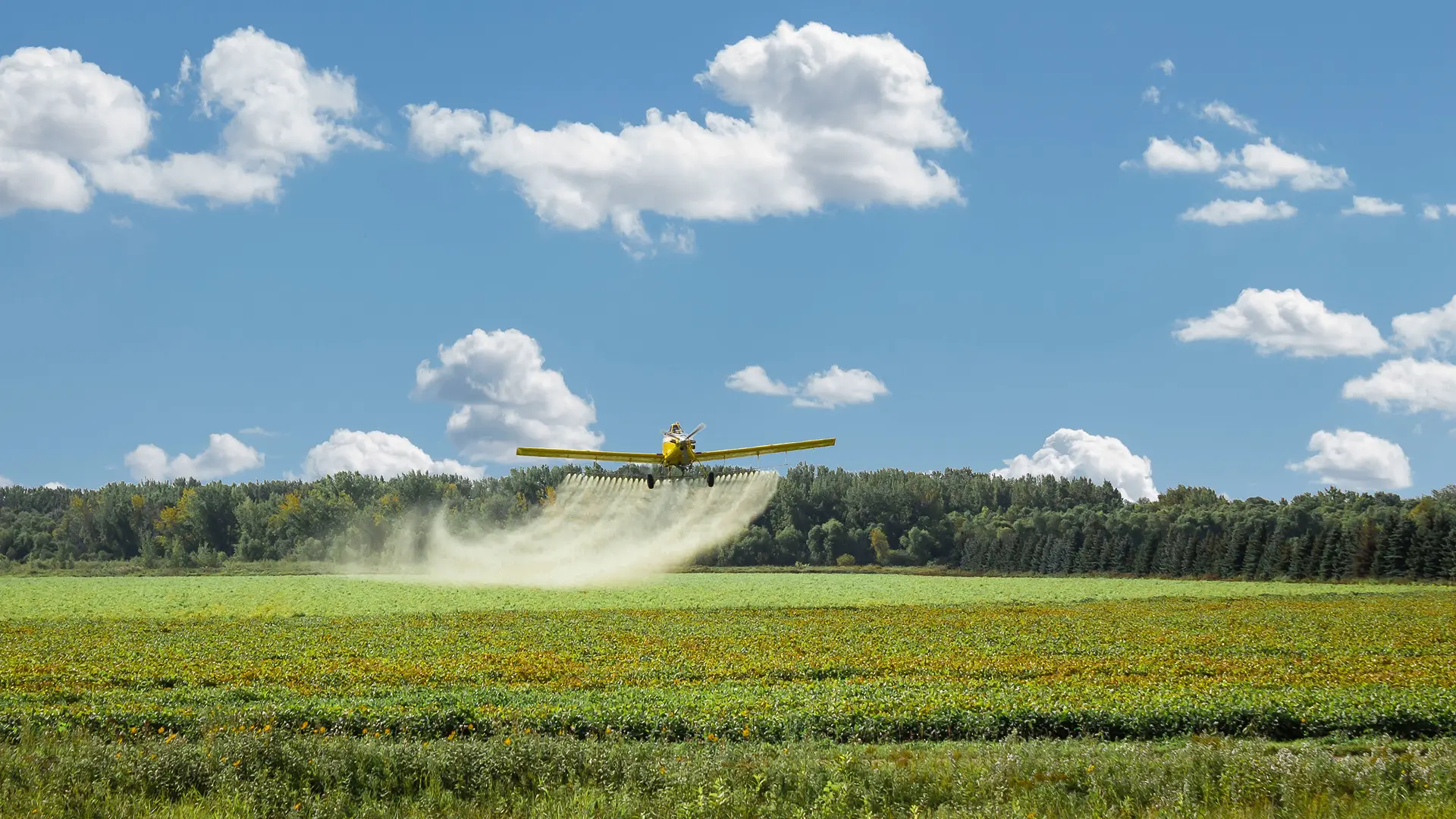
Agricultural aviation might involve a very different machine, moving considerably faster, but many of the challenges were surprisingly familiar.
Pilots needed to know exactly where to apply product. Operators needed accurate records of what had been completed and where. And the people coordinating the work needed to keep aircraft, jobs and information moving.
In other words, a lot of the thinking that had started with fertiliser trucks in New Zealand made just as much sense several thousand feet above them.
Same challenge. Different vehicle
Moving into agricultural aviation meant adapting the technology to a completely different working environment.
A pilot couldn’t exactly pull over to check the map.
Guidance needed to work at speed. Information needed to be clear and immediately useful in the cockpit. And proof of application remained just as important when the work was being completed from the air.
But, as we’d already learnt on the ground, completing the job was only one part of the picture.
Aviation businesses were coordinating pilots, aircraft, ground crews and customers across multiple jobs and locations. That created new questions around how work was planned, how instructions reached the cockpit and how completed job information made its way back.
So the technology kept evolving.
Mapping and proof of application remained at the heart of the system, but gradually more of the working day became connected around them. Jobs could be planned and communicated more easily, while information from the aircraft gave the people coordinating the operation a clearer picture of what was happening in the air.
It was a new environment for TracMap, and one that would continue to shape the technology in the years that followed.
Agricultural aviation gave us a new challenge to solve. It wouldn’t be the last.
Fast forward to 2024
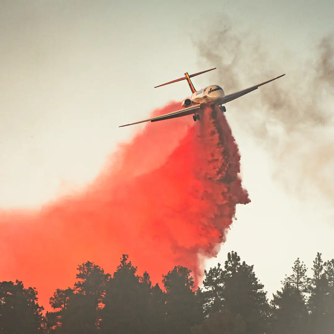
Fourteen years after first taking to the air, we found ourselves facing a rather different assignment.
Wildfire.
The aircraft might have been familiar, but the environment was vastly different.
Aerial firefighting meant multiple aircraft, pilots, ground crews and command centres working together in an environment that could change by the minute. There was little room for outdated information or uncertainty around what was happening in the air.
The stakes had changed too.
This wasn’t about applying fertiliser accurately. It was about helping the people coordinating an emergency build a clear, live picture while it was unfolding.
And although the environment was dramatically different, there was a thread connecting it back to the problems we’d been solving since 2006: people needed to know what was happening beyond what they could see in front of them.
One operation, seen from the ground
By this point, Tabula looked considerably different to the systems that had first entered agricultural aircraft in 2010.
With Tabula Live, information from multiple teams and aircraft could now be viewed together in real time, meaning command teams could follow what was happening across a response as it unfolded.
That mattered in an environment where conditions could change quickly and the people making decisions weren’t necessarily sitting in the cockpit.
It was a long way from our beginnings in a fertiliser truck. And yet, in another sense, it wasn’t.
The original challenge had been to give people accurate information about work happening out in the field. Nearly twenty years later, we were still connecting the people doing the work with the people who needed to understand it.
Different industries. A familiar idea
Agricultural aviation opened the door to an entirely new part of Tabula’s story. Wildfire showed just how far that idea could travel.
Along the way, the technology changed. The industries changed. And the complexity of the work we were helping connect changed enormously.
But something from those early TracMap days survived the journey.
Listen to the people doing the job. Understand the environment they work in. Then build technology that makes that job easier to manage.
From fertiliser trucks, to agricultural aircraft, to the middle of an emergency response — twenty years have taken us to some interesting places.
And there was still more to come.
Next in the series: How our customers are using Tabula to support complex aerial operations.